
Trace Lake Forest Street Records
A Lake Forest street directory starts with an address, not a name. Run it through City Maps or ArcGIS, confirm the street context, and capture the APN. Take the APN or property address to the Assessor's ParcelQuest route or Tax Collector search. Use APN, legal description, and owner or assessee clues in RecorderWorks. Treat voter data as restricted: My Voter Status verifies the requesting voter, while a broader file needs a permitted purpose, ID, wet signature, and payment. Finish with a criss-cross directory only when a volume offers a reverse section.
- Search City Maps or ArcGIS for the address; use visible street or cross-street, autocomplete, zoom, pan, or parcel-click tools.
- Record APN and situs, then compare Assessor or ParcelQuest facts or Tax Collector status.
- Choose RecorderWorks by APN, legal description, name, document number, or recording date.
- Check grantor, grantee, and date before treating a deed as ownership evidence.
- Use self-verification or a qualified voter-file process; no open street roll exists.
- Search El Toro and Lake Forest, then confirm a historical criss-cross section.
The trail produces different evidence. GIS places a parcel; assessment describes land; a deed records a transaction; a permit names a project party; a directory may list an adult; voter data is purpose-limited. Owner, mailing address, permit applicant, and resident are distinct roles.
Lake Forest Address Records, Layer by Layer
Lake Forest address records work as a chain. The table keeps custodians separate. A parcel polygon is not an occupant list, a tax bill is not a deed image, and older sources may say El Toro.
| Record Set | Keeper | Address Clue | Access and Limit |
|---|---|---|---|
| City GIS / maps | Lake Forest | Parcel shape, address, APN, planning layers | Free viewer; only visible map tools |
| Assessment / ParcelQuest | Orange County Assessor | APN, situs, assessments, released owner or mailing fields | Web route or public counter; owner-name mode not verified |
| Tax search | Treasurer-Tax Collector | Parcel, property address, tax lien, watercraft or aircraft registration | Free search; tax status is not a resident list |
| Recorded instruments | Clerk-Recorder | Grantor, grantee, document, date, APN or legal description | Free index; copies ordered separately |
| Building records | City Clerk / Building | Projects, permits, contacts, inspections where public | Request by street address or tract/parcel |
| Voter file | Election officials | Address fields for an approved recipient and purpose | No open street roll; application limits apply |
| Criss-cross directories | NARA, Archives, libraries | Historical listed adults or subscribers by address | Exact year and reverse section must be confirmed |
APN is the strongest location bridge, linking map, assessment, tax, RecorderWorks, and city requests. It can change after a parcel split or combination, and access varies by source.
The Orange County Treasurer-Tax Collector search accepts a property address, parcel number, tax-lien number, or watercraft or aircraft registration.
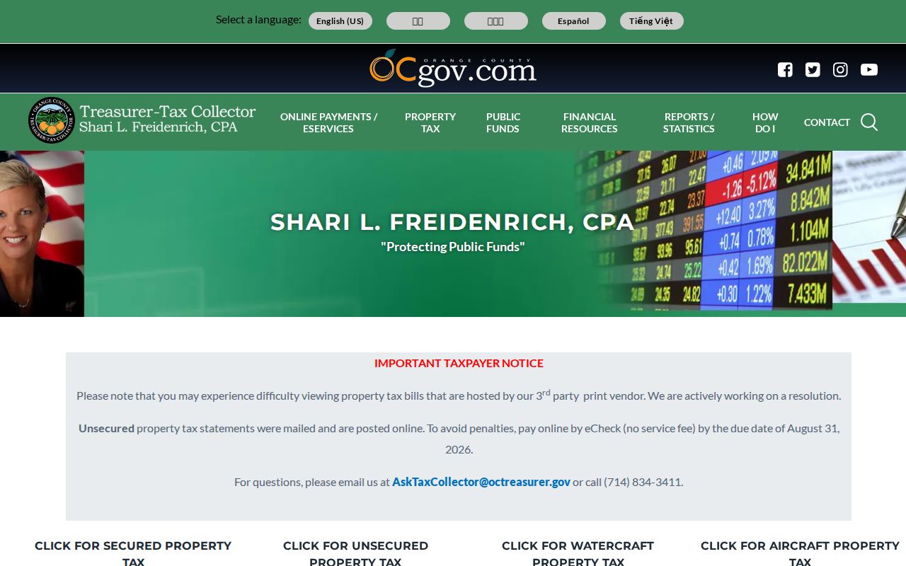
Tax status can support a parcel timeline, not a list of people.
ParcelQuest Fields for Lake Forest Streets
ParcelQuest is reached through the Assessor's property-information and parcel-maps page. The hosted service has assessment and map context, but data should be verified and no stable free owner-name mode was confirmed. Address or APN are the safer keys. The public counter at 500 S. Main Street, Orange, is the fallback.
The Assessor property-information route is the official starting point for the ParcelQuest handoff.
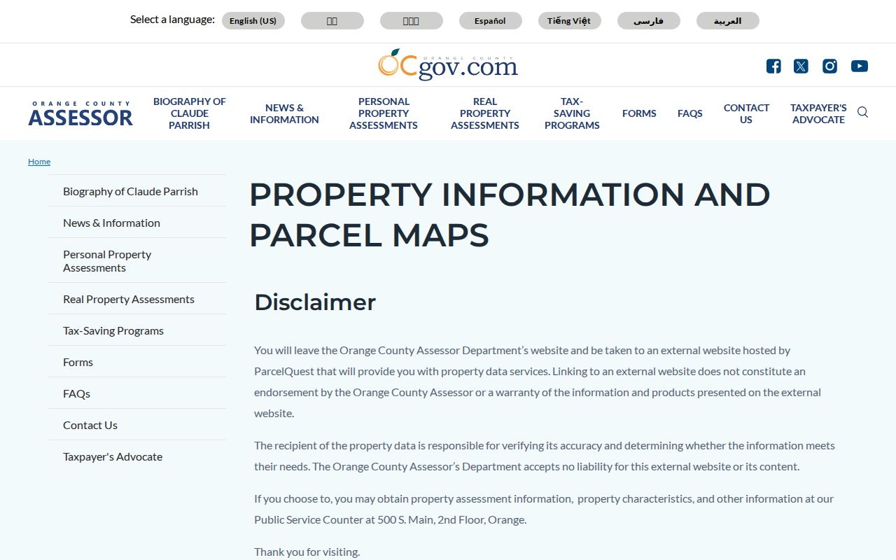
The official route shows how county parcel research moves into a hosted service. The counter helps when a web field is missing.
The Assessor's parcel-map explanation describes maps that delineate parcel boundaries and dimensions for assessment.
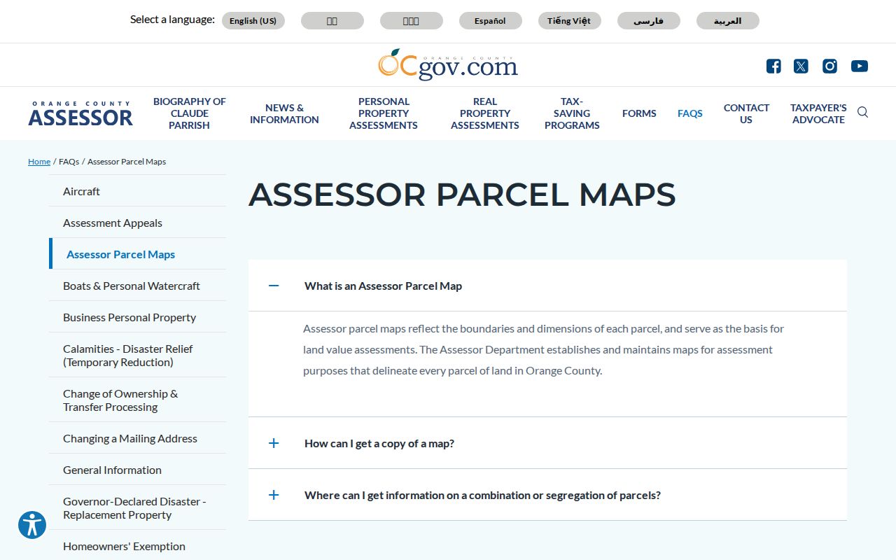
A parcel map settles the lot, not occupation or interiors. Parcel-card clues may include APN, situs, legal or tract-lot reference, values, use, year built, size, transfers, map link, and exemptions.
| Field | Type | Required | Notes |
|---|---|---|---|
| Property address | Text | One key | Street number and name; unit format may matter |
| APN | Text | One key | Stable parcel key; retain displayed hyphens and leading zeros |
| Owner or assessee | Text | Not verified | No stable free owner-name mode was confirmed |
| Continue to ParcelQuest / Search | Link or button | Yes | Hosted data; verify against the county |
Label any owner or assessee field as interface-released and date it. Keep mailing and situs separate. A match supports a property trail, not who lives there.
Browse Lake Forest Parcels in GIS
Lake Forest City Maps and ArcGIS viewers support street or cross-street search, address autocomplete, APN entry, layer lists, zoom, pan, and parcel clicks. Layers and identify tools vary, so use only visible controls. A map is a spatial index, not a verified public neighbor button.
| Control or Field | How It Works | Street Use |
|---|---|---|
| Street / cross-street search | Text route advertised by City Maps | Find a street segment |
| Address | Autocomplete in ArcGIS viewers | Locate a situs address |
| APN | Alternative parcel key | Bridge map, tax, assessor, and deed records |
| Layer list | Checkboxes for offered planning, zoning, streets, or parcels | Show only visible layers |
| Zoom and pan | Map navigation | Browse adjacent parcels |
| Identify / click parcel | Opens attributes where configured | Record each APN separately |
| Measure or select | Varies by viewer | Do not promise buffer or export |
For a street directory, map order is the start, not the conclusion. A result can show a parcel polygon, street centerline, surrounding lots, address or APN, and zoning or planning attributes. Use APN to reach the Assessor or Tax Collector. Click nearby parcels separately because adjacency is not a shared household.
Lake Forest Deed Chains by Address
RecorderWorks is the Orange County Clerk-Recorder's free grantor-grantee index. Modes cover Name, Document Number, Document Type, Recording Date, Book and Page, APN, Legal Description, and Map. Name searches use LAST FIRST and allow Grantor, Grantee, or Grantor/Grantee. APN and legal description fit a parcel already found in GIS. Deed images are not shown.
The RecorderWorks search interface displays the index route for connecting a parcel to recorded parties and documents.
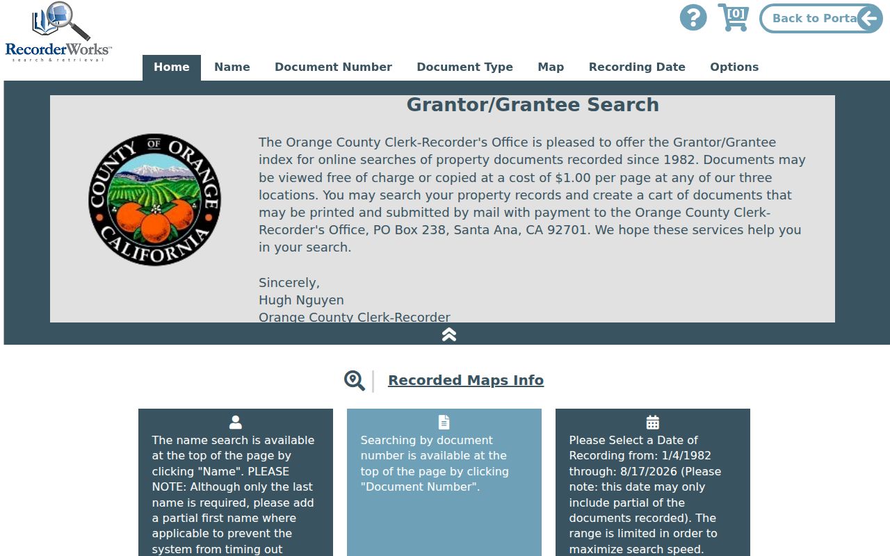
The document number is the copy-request handoff. Results can carry party, role, type, date, number, book/page, APN, legal description, or map references.
- Find the current owner or transfer clue and note the latest document number and date.
- Open the purchase deed: the owner is normally grantee and the seller grantor. Check APN or legal description.
- Search the seller as an earlier grantee and test candidates against the same parcel and date.
- For pre-1982 documents, retain book, page, and instrument. Later records commonly use year plus six digits.
- Order a copy only after the identifier is known; the index is free and images require a separate request.
Lake Forest Permits by Address
Lake Forest building records take a different route. The city records request form has Street Address and Tract/Parcel No. fields. Building records route to the City Clerk, and requests can identify a permit, plan, inspection, or code file. The form says the city makes a determination within ten calendar days.
Permits name projects and contacts, such as applicants or contractors, and may show public dates or inspections. They do not prove occupancy. Pre-incorporation Lake Forest files, or Foothill Ranch and Portola Hills files from before the 2000 annexation, may have county-era custody.
Use APN with the street address to reduce unit and spelling errors and separate work at a parcel from a claim about a person.
RecorderWorks Street Copy Tips in Lake Forest
An insider distinction saves a wasted request: the online index is free, not an image vault, and recorder staff do not search by telephone, in person, or mail. Save document number, party role, date, APN, and legal description. The county copy instructions call for book, page, and instrument details before 1982, while later records commonly use year plus six digits.
The county charges $1 per page plus $1 certification per document or map. That covers reproduction or certification, not a staff-run search. A careful street directory should label an index entry, a copy, and any conclusion needing corroboration.
El Toro Names in Lake Forest Records
The historical place-name bridge is mandatory. Lake Forest incorporated on December 20, 1991, but the community was called El Toro for well over a century. Foothill Ranch and Portola Hills joined through the 2000 annexation. A street record may sit under any of those names, depending on date and custody.
NARA's Orange County directory inventory verifies volumes for 1926, 1929, and 1931 that include El Toro. They are county volumes, not Lake Forest-only books. Confirm any reverse or criss-cross section volume by volume. An old street directory may list an adult, occupation, spouse clue, and address, but absence proves little.
For the historical volumes themselves, the Lake Forest city directory collections page keeps shelf research separate from the current parcel chain.
Note: “Orange County” in a catalog title does not mean an El Toro entry is absent; inspect the included-community list.
Lake Forest Street Tracts and Annexation Boundaries
Lake Forest addressing is development- and tract-based, not one simple quadrant grid. APN is the bridge, but parcel splits and combinations can retire it. Legal descriptions may use tract, lot, parcel-map, or rancho language. RecorderWorks map modes include subdivision, parcel, assessment, annexation, survey, vicinity, development, merger-parcel, seismic, and judicial-district labels, which can explain a missing modern address.
A 1980 permit is not automatically a Lake Forest city file. A Foothill Ranch or Portola Hills permit from 1998 may predate the 2000 annexation. Ask whether Lake Forest inherited it, then check the county-era custodian. A deed remains county-recorded when boundaries change.
Street name, postal city, municipal boundary, assessor roll, and directory heading need not align. Confirm situs in GIS, retain APN, and note the historical place name.
Voter Limits on Lake Forest Street Searches
California My Voter Status is self-verification. The form asks for first name, last name, date of birth, and, when required, California driver license or ID information or SSN digits. Results can show status, party preference, polling place, vote-by-mail status, precinct, districts, registration date, and participation history, but not vote choices.
A broader voter file is purpose-limited under Elections Code §2194. The Orange County application requires applicant details, product or geography, intended use, supporting credentials when needed, photo ID for mail requests, wet signature, payment, and pickup or shipping choice. Commercial use is prohibited; no open website returns every voter on a Lake Forest street. Safe at Home can keep addresses confidential.
A registration snapshot supports only the proposition allowed by its access route. Inactive or cancelled status does not prove a move date. A street directory should describe voter data as restricted evidence, not a public roster.
Lake Forest Street Terms Defined
Four terms prevent an address search from sliding between map, land, and historical evidence. They matter when a parcel has a mailing address, legal description, and directory entry.
- Parcel
- Mapped land tracked by an APN, with boundaries and assessment information that may change after division or combination.
- Situs address
- The parcel's physical location, distinct from the mailing address used for notices.
- Plat
- A recorded subdivision or parcel map relating lots, lines, and tract information to a legal description.
- Criss-cross directory
- A reverse section that may begin with street and house number before a listed occupant or subscriber; availability varies by volume.
Record APN, situs, mailing field, legal description, source year, and role: owner, permit contact, voter record, or listed adult. This prevents a criss-cross entry from being mistaken for present occupancy.
Limits of a Lake Forest Street Directory
A Lake Forest street directory can align parcel geography with ownership and historical evidence, but it cannot list everyone connected to a home. Property records may omit non-owner occupants and household members. DMV addresses are restricted by the federal Driver's Privacy Protection Act. Utility and delivery records are not open address rosters. A permit applicant, owner, mailing recipient, and resident can differ.
State what each source proves. Use GIS for adjacency, assessor maps for parcel identity, recorded instruments for ownership, permits for construction, historical directories for listed adults, and voter data only under approved rules. Verify sensitive conclusions with the custodian and respect confidential-address programs.
Lawful use. Lake Forest address records are available for personal, lawful research. Do not use them to stalk, harass, intimidate, or harm anyone; misuse can violate the law.
A careful address search ends with a documented source, date, and uncertainty note. That is more useful than presenting an inferred household as a fact.