
Lake Forest Neighbors by Block
A block needs a boundary before any record is read. It can mean touching parcels, a cross-street segment, or a fixed map view. Sources differ, so keep parcel shape, ownership, address history, and household clues separate.
| Source | What It Shows About a Block | Access |
|---|---|---|
| City GIS and ArcGIS maps | Adjacent outlines, situs addresses, APNs, and planning layers | Map browse and click; no household roster |
| Assessor and tax records | Released ownership, assessment fields, situs, and mailing details | Assessor route, ParcelQuest, counter, or tax search |
| RecorderWorks | Recorded deeds, liens, parties, dates, and legal descriptions for each parcel | Free index; copies ordered separately |
| Qualified voter file | Registered-voter address fields for an approved statutory purpose | Signed application and purpose review; no open street browse |
| Permits and code files | Project, inspection, contractor, applicant, and compliance history where releasable | City request by address or APN; redactions may apply |
| Associations and archives | Public board contacts, historic listings, events, or organization records | Organization or library request; membership limits remain |
The table keeps an owner separate from a neighbor. A released owner or assessee is tied to a parcel, not every person there. Renters and household members generally do not appear on the tax roll. A reverse directory or lawful voter file may add a clue, but neither is a block roster. Confirm each result.
Lake Forest Neighbor Parcels
The City of Lake Forest map gateway and linked ArcGIS viewers support street or cross-street search, address or APN lookup, layer changes, zoom, pan, and click identification. Select the target polygon, read its parcel key, then click each adjoining polygon. The map supplies spatial context; the next source supplies APN fields.
Zoom in to separate a condo, common parcel, park edge, or commercial lot. Note whether each shape touches the target, lies across the chosen cross-street line, or appears only because the view is broad. That makes “neighbor” a repeatable boundary.
- APN
- The assessor parcel number, used as the stable bridge between a map shape and property records.
- Situs
- The physical location assigned to the assessed parcel, which may differ from its mailing address.
- Common parcel
- Land such as a shared tract area or facility parcel that may not represent one household.
- Click identify
- A map action that returns the fields attached to the polygon selected by the user.
Map a Lake Forest Neighbor Block
Keep the target address, map view, APN, and source date together. Move from geometry to ownership without calling a listed owner an occupant.
Address → map location → target APN → adjacent polygons → released owner fields → deed or permit confirmation
- Search the address or cross streets in the Lake Forest City Maps and ArcGIS gateway. Record the target polygon, situs, and APN.
- Click parcels that touch the target. Note condos, common areas, parks, business parcels, or parcels across your chosen line.
- Run each APN through the Assessor or tax route. Compare situs and mailing fields without inferring a household.
- Use RecorderWorks for a deed or lien question. Request a public permit or code trail by address or APN.
- Stop at the block boundary. For a full street chain, use the Lake Forest by-street directory.
This prevents starting with a name, finding a similar address, and drawing a block around the wrong parcel. The APN checks street spelling, unit format, and old community names.
Lake Forest Owner Clues for a Neighbor
Orange County assessment and tax sources connect a parcel to released ownership and assessment fields. Tax search accepts a parcel number or property address, while the Assessor route points to parcel maps. APN is usually the better bridge because street names and unit labels vary.
Mailing and situs fields need care. If they match, owner occupancy is plausible but not proven. If they differ, the owner may use a trust, business, second-home, or preferred mailing address. A homeowner’s exemption can support owner occupancy, yet may lag or change. None lists renters or all household members.
RecorderWorks adds different proof. Its index can expose grantor, grantee, document type, recording date, instrument number, and legal-description clues, but it is not a free deed-image service. Keep ownership, occupancy, and map adjacency separate.
Lake Forest Voter Data for a Neighbor
California’s voter system is not a public Lake Forest street directory. The Secretary of State’s My Voter Status tool asks for first name, last name, date of birth, and, when required, California identification details. It returns that voter’s status, not a block roster.
Broader voter-file access is purpose-limited by Elections Code section 2194. Orange County’s Registrar describes an application requiring a wet signature, qualifying purpose, supporting material when needed, identification for mail requests, payment, and a selected geography. A qualified recipient may process address fields under those terms, but no public website lets anyone type a Lake Forest street and receive every voter.
Participation history shows an election record, not how someone voted. Signatures, license numbers, and Social Security numbers are not released. Safe at Home and other protected records remain confidential. An inactive or cancelled record does not prove when someone moved.
Lake Forest Permits and Neighbor Change
Permit and code records describe change at a place. A public file may show a project, permit date, inspection milestone, contractor, applicant, or compliance matter. Request it by address or APN through the city’s records process, and expect private complainant details or other protected material to be redacted. A permit date does not prove a move-in date.
For an official licensing example, the California Contractors State License Board lookup shows primary verification that can support a contractor name in a public permit trail.
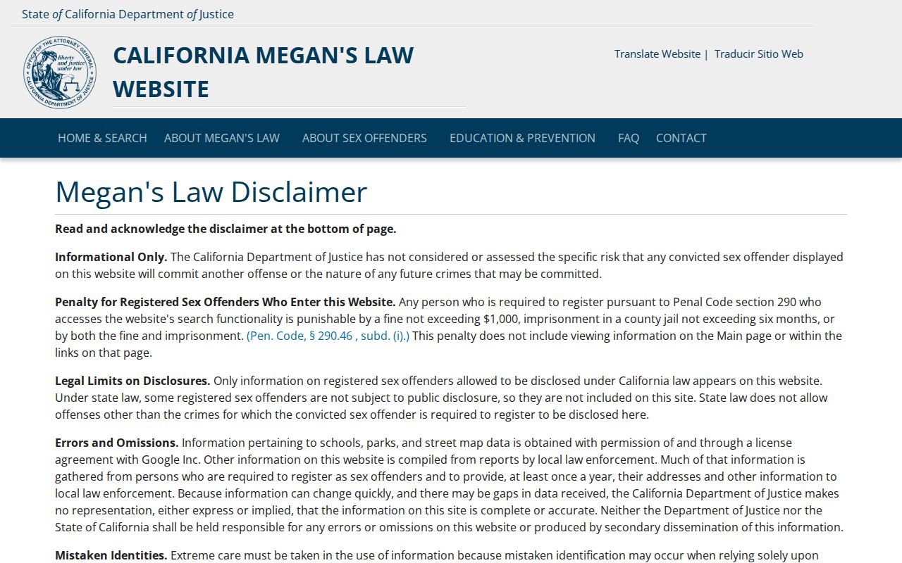
A license result can help match a contractor to a project record, but a business or license address is not proof that the person lives near the work. Read the permit, license, and parcel record for the narrow claim each one supports.
Planned Communities and a Lake Forest Neighbor
Community names are useful search keys in Lake Forest. Planning and history material names Foothill Ranch, Portola Hills, Baker Ranch, Serrano Summit, Whisler Ridge, Portola Center, and older lake and forest communities. Those labels can lead to tract maps, planning records, newsletters, association contacts, and development-era material. They do not define a parcel or household.
The geography has a time layer. Lake Forest incorporated in 1991, and Foothill Ranch and Portola Hills joined the city in 2000. Older records may use El Toro, while later records use Lake Forest or an annexed community name. Check the map and APN before treating a community label as a neighbor boundary.
Insider tip. Search the community name beside the APN, then confirm it in a city map or county parcel source.
Lake Forest Neighbors and Associations
Planned communities often have an association layer, but a city page is not a membership directory. Public sources may identify a board, manager, meeting, governing document, or general contact when the organization publishes it. The research did not verify a complete city-published HOA directory, so treat contacts as organizational only.
| Community or contact layer | Public contact signal | Private boundary |
|---|---|---|
| City of Lake Forest planning and maps | Public city gateway, map viewers, and planning context | No private HOA member roster |
| Foothill Ranch and Portola Hills | Named community context; board or manager contact only if published by the association | Membership and household lists are not city records |
| Baker Ranch and Serrano Summit | Planned-community name may guide a public organizational inquiry | Private association records remain with the association |
| Whisler Ridge and Portola Center | Use public planning or association governance contacts when available | A contact route does not disclose members |
| Older lake and forest communities | History or planning references may identify an organization or archive | Current rosters require the group’s lawful choice |
Ask for a public board or manager contact, event, or archive the organization chose to share. Do not ask City Hall to confirm membership. Rules arise from the group’s documents, not a city resident roll.
Historic Lake Forest Neighbor Records
Older neighbor records may appear in a directory, newspaper, school history, oral history, or organization file rather than a current property roll. UCI’s Orange County Regional History Collection, the Southeast Asian Archive, the Saddleback Area Historical Society, Heritage Hill Historical Park, Orange County Historical Society, Orange County Archives, and OCPL offer distinct local-history angles.
OCPL’s El Toro and Foothill Ranch branches support genealogy, obituary research, digital newspapers, and licensed history databases. Orange County Archives holds directories, newspapers, photographs, property and vital records, and county-government material. Some collections need a focused question, appointment, or rights review.
- Use El Toro, Lake Forest, Foothill Ranch, and Portola Hills as place-name variants.
- Give an archivist the person, date range, tract or address, organization, and record type.
- Pair a reverse-directory listing with a deed, permit, obituary, or other source.
- A historic listing shows that source’s scope, not every person who lived nearby.
This can reconstruct a past block without turning a surname match into a family claim. It separates an archived clue from a present record.
Lake Forest Neighbor Labels vs Commercial Data
Commercial neighbor tools blend property, marketing, telephone, and other feeds. A label may point to a former owner, relative, mailing contact, or stale data. Official records are not perfect, but their fields and custodians are visible.
| Question | Official record path | Commercial label risk |
|---|---|---|
| Which parcel is next? | GIS polygon, APN, situs, and map position | May merge nearby addresses or rely on a mailing feed |
| Who is tied to ownership? | Assessor fields and recorded instruments | May show a former owner, relative, or stale contact |
| What changed there? | Permit, inspection, or code chronology where releasable | May flatten a business or project contact into a resident label |
A public safety registry is a separate official record, not a general neighbor directory. The official California Megan’s Law search carries its own warning.
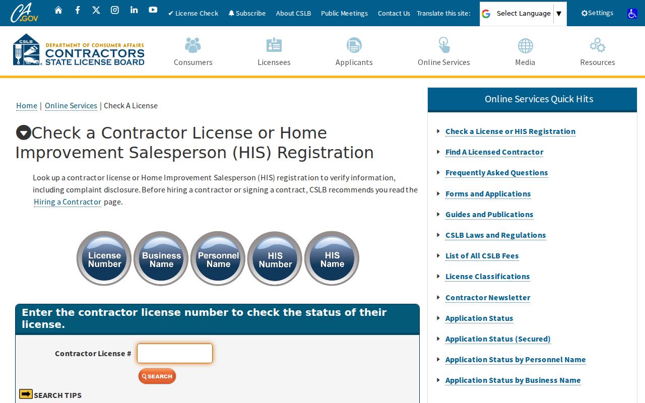
Keep the warning with the source, do not display sensitive result details, and do not treat a registry result as a general neighbor profile.
Privacy Limits for Lake Forest Neighbors
California’s CCPA and CPRA give covered consumers rights to know, delete, correct, and opt out of sale or sharing, but public government information has exceptions. A request to a covered business cannot erase a lawful deed, court record, assessor entry, or other record held by its custodian. Correct a government record with its office, then ask downstream publishers to refresh or delete where applicable.
California’s 2023 Delete Act created DROP, a single request route at privacy.ca.gov/drop for registered data brokers. Covered businesses may also offer a privacy channel or respond to Global Privacy Control. Give only needed verification data, save the confirmation, and avoid sending an unredacted ID to an unverified domain.
Safe at Home can provide a substitute address for qualified survivors and other eligible people who fear for safety. It can protect voter registration and specified property records, but does not erase every old copy. The Driver’s Privacy Protection Act limits DMV data. Minors, renters, household members, utility and delivery customers, confidential voters, and private association members are not a public roster.
The California Attorney General’s CCPA guidance explains the public-record distinction.
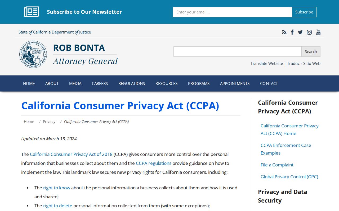
That distinction keeps a Lake Forest neighbors search focused on public parcels and lawful personal research, while leaving protected people and private household data out.
Lawful use. Use block research for personal, lawful purposes such as understanding a nearby place or reconnecting. Never publish a protected address or use records to watch, threaten, harass, intimidate, or harm anyone.